Posts

Caldera Rim Snowshoe Trail

Image
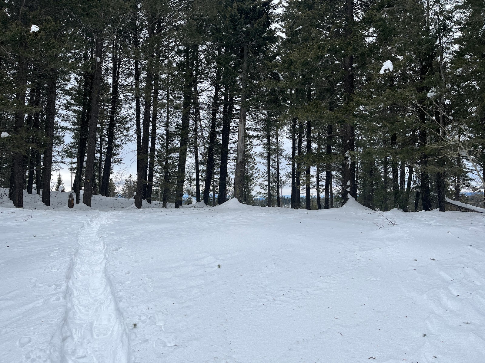
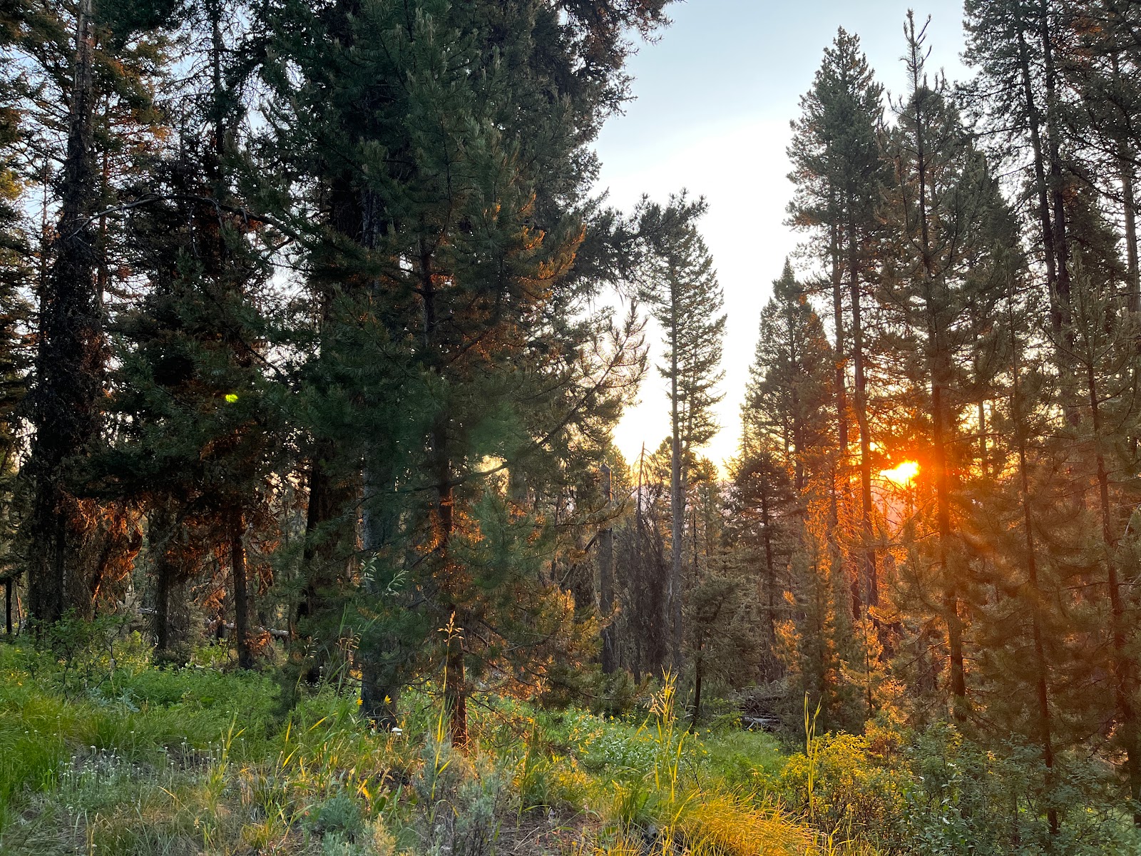
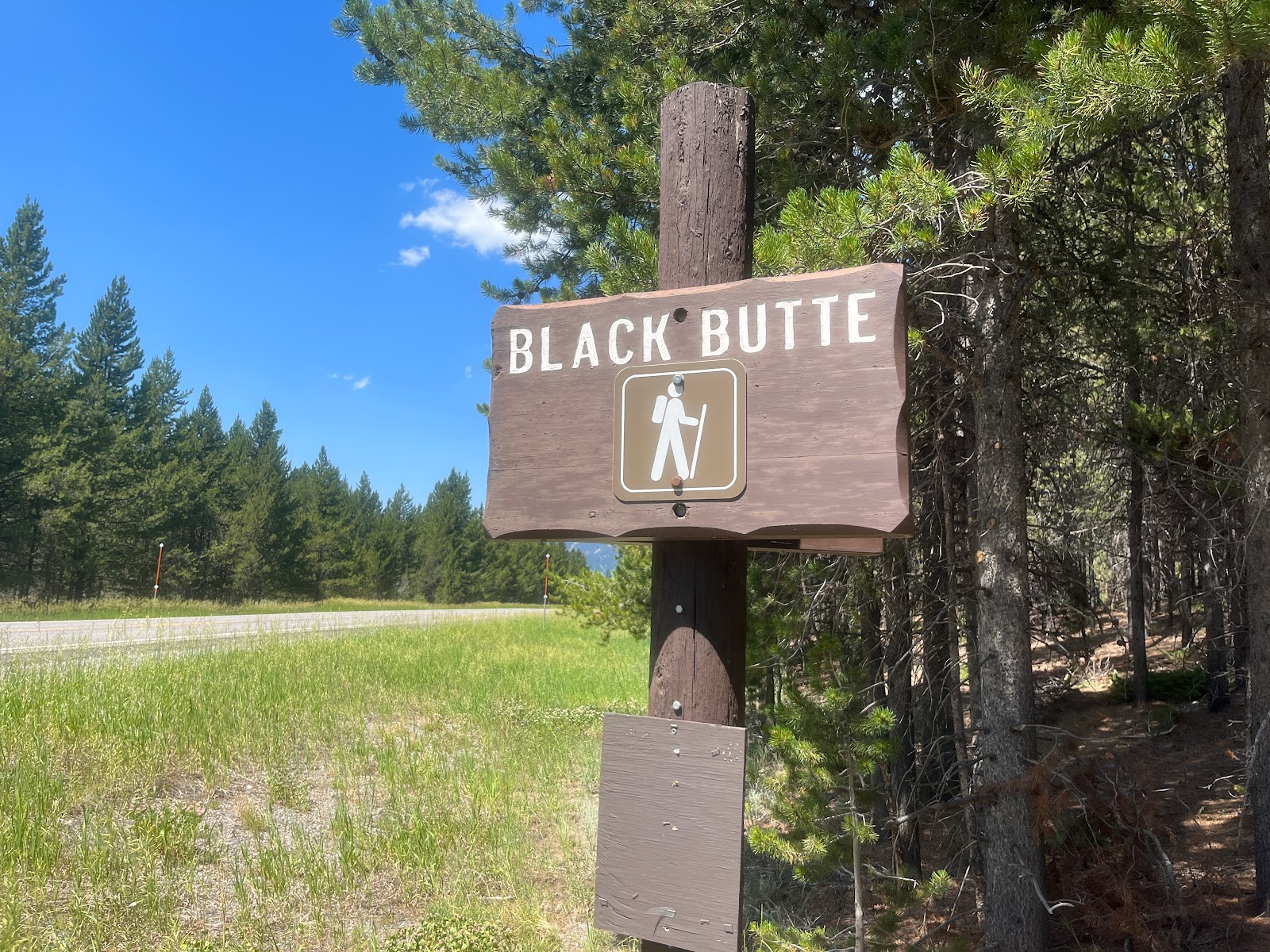
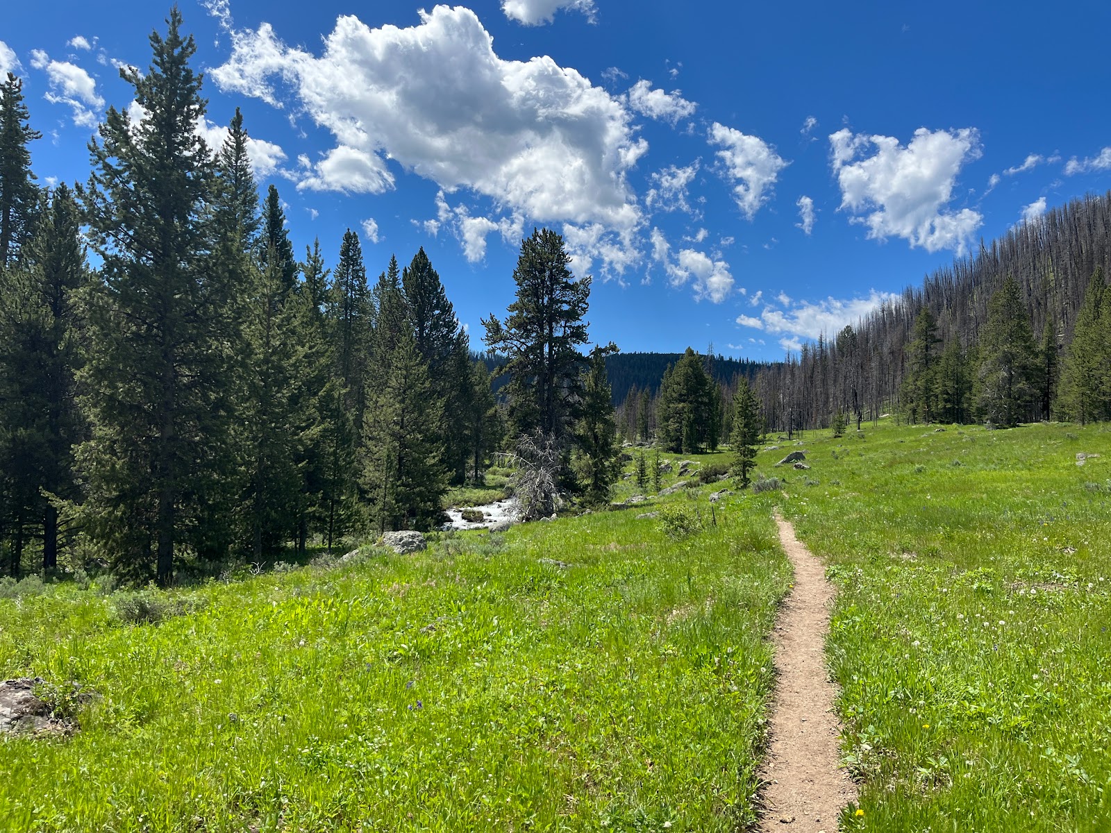
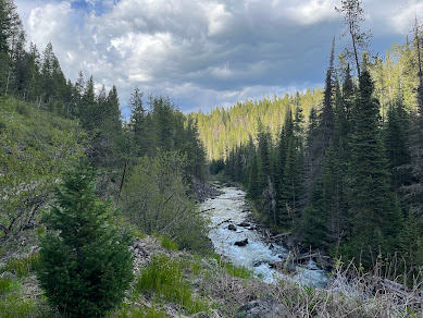
      What could be better than a day playing in the snow?  A day playing in the snow with family only minutes from home!  The weather man AKA Andy says that there is another big storm coming so we had to get fun in quick. We decided to forgo my plan of going to Noris Hotsprings. I have never been and really want to go. Anybody been? I digress. So, we went snowshoeing close to home on the Caldera Rim Snowshoe Trail.       I have never snowshoed this trail and didn't realize how well-marked it is. There are maps posted and yellow snowshoe markers indicating the trail. It is a beautiful trail with some uphill elevation at the first.      This is the view as we are climbing up, you can see my Jeep in the picture of where we parked. This trail begins right at the top of the Caldera or Ashton Hill. There is a pullout on the west side of Highway 20 and that is where we parked.      The trail leads through the trees, which was great for us as the wind was picking up.  This provided a grea

A West Yellowstone Hike With Views of Idaho and Montana

Image
 The Lionshead trail is a breathtaking hike in more ways than one. It is rated as a challenging hike for a reason. It is over 13 miles out and back. We started at sunrise which was absolutely gorgeous. The trailhead is right on the Montana/Idaho border driving on highway 20 it is right by the Welcome to Idaho sign on the north side of the road.  The drive to the trailhead requires a high clearance vehicle as it is a very rough road. The trail begins on an old road for about a mile, then turns into a foot trail that switchbacks through the forest. The trail follows the continental divide trail CDT. We did see 2 other hikers that were following the CDT for the long haul. The view is amazing of Hebgan Lake, Madison Arm, and Island Park.  The trail switchbacks on an open tundra with loose rocks then ascends the ridgeline.  Here is a picture I got of Andy looking through his binoculars. The view is great even with the naked eye.  You may have noticed Lionshead mountain if you have ever driv

The Hike With The Best Views of Yellowstone

Image
 The Black Butte trail to Big Horn Peak is a challenging hike but with amazing views of Yellowstone as the payoff, it's worth it! The hike starts at Black Butte Trail Head along Highway 191 about mile marker 29. The trail marker is surrounded by trees so you have to be watching for it or you'll miss it. Parking for the trail is on the west side of the highway but the trail starts on the east side.  This is an 11.5 mile with another mile to go directly to the peak. We stopped short of the peak due to heat and an exposed rocky mountainside.  Elevation gain on this trail is over 2,000 ft.  There are a few springs that you navigate by rocks or logs and two creek crossings that have bridges. No need for water shoes on this trip.  This hike takes you through the Gallatin National Forest Petrified trees. They are unique, large, and beautiful.  The views are amazing on this hike and motivated me to keep on going even after it was in the heat of the day.  We saw only a couple other peop

Hiking Weekend in Yellowstone

Image
The boys and I started the weekend off on Friday, July 1st with a hike to Bacon Rind Creek Trail. Yes, I think it's keto-friendly if you adhere to this diet😂 It is a beautiful short little hike just inside Yellowstone. To get to the trailhead drive on HWY 191 out of West Yellowstone going towards Bozeman.  This hike is the only hike that heads west on this side of Yellowstone National Park. The turn-off to the trail between is mile maker 22-23.  2.1 miles of this hike is inside the park and is very well maintained. The trail continues into the Gallatin National Forest. We however did not make it that far. As you can see in this picture it is pine pollen season. We could see a wall of green pollen coming our way. We had planned to continue closer to the wall of green but we hit a mud hole that was impassable. We made it 1.55 miles along this trail and then headed back out. Friday and Saturday afternoon we rode mountain bikes in Harriman State Park in Island Park Idaho. It was a bea

We're Back And The Mountains Are Calling!

Image
       It's been a long time since we posted on this blog. I broke my leg in January 2021 which caused a bit of a setback to our hiking adventures last year. Oh, we went but more local short hikes. This year is going to be bigger and better. I for one can't wait! We have been on a few short hikes near our home. Oh yes, we moved to the mountains last spring as well. It has been the best move for our kids. It has brought solitude and relaxation.      We went on our favorite little trail yesterday, an old railroad bed. We have been hiking this trail for 25 years. It is an easy hike for kids or if you are carrying your kids in a pack. Because it is an old railroad bed it is a wide, graveled trail, that follows the Warm River. It is an absolutely beautiful hike. This trail is used for hiking, biking, and ATVs. We started at the Bear Gulch parking lot on the scenic byway on highway 47. From the parking lot head northeast, under the highway through a tunnel. There is no trail sign but

Petit, Toxaway, Twin, and Alice Lake Loop/Sawtooth Mountains

Image
  Hike in the Sawtooth Mountains Friday, August 14, 2020 We set out for a weekend hike in the gorgeous Sawtooth Mountain Range for Andy’s birthday weekend.  We couldn’t have asked for more perfect weather. We got up early because the Sawtooth Mountains is about a 4-hour drive from our house. We did the Pettit Lake to Toxaway Lake then to Alice Lake Loop.  We went counterclockwise of the trail show below, which is the opposite way most people do this hike. Alice Lake is the destination for many hikers.  I can understand why many hikers just go to Alice as an in-and-out,  it is a beautiful 5-mile hike.  The parking lot was VERY CROWDED so, I recommend getting there early.  Parking for this hike is at Pettit Lake campground.  The Tin Cup Trailhead is near the bathroom facilities on the far end of the parking area.  We got there a little later in the day, so we parked outside the campground area.  There is information about the hike at the beginning of the trailhead.  The beginning of the
Image
   Dunanda Falls Sitting at home staring out the window watching it snow, makes me wish for the warm days of summer. I was complaining to Lyssa about the weather and she said " well it's a good time to write about some of our trips this past summer" so here we go. We hiked to Dunanda Falls on August 29th earlier this year. Dunanda is located southwest corner of Yellowstone National Park. To get there you take the Cave Falls road North-East of Ashton Idaho and drive about 31miles, then turn North at the Bechler Ranger Station access road. I think it was about a 1 or 1/12 mile up the road to where the trailhead starts. You will need a Yellowstone Park Pass. The hike in and out is 16 miles although we put in closer to 18 miles with an elevation gain of about 250 ft. Once we got to the Bechler Ranger station, I was a little apprehensive about all the people everywhere in the parking lot. I did find a parking spot, but I would suggest getting there early to ensure parking spot